To pick up where I had left off and “The Rest Story”…
There was a boundary pin beyond Basing’s patio and an old fence line that went up a gully to the left. I thought it was the property boundary between Maxwell’s and the Seven Falls property. Later, the Hills, who owned Seven Falls then, demanded quite a bit more land, which I thought they must have weaseled out somehow, but apparently, they showed a legal claim. To this day something bothers me about Lyda Hill’s claim. The clash could be why the steps on that side of the Basing’s house were never completed.
To my knowledge, Lyda Hill had been party to several questionable acts. I went to our big dam one day and watched two teens in white sweatshirts with the cloth arms cut off while stealing buckets full of my dad’s rainbow trout to take down to their tourist site. And likely, they did much worse, hoping to wear people down and urge them to abandon the property.
When Laurette moved, the property was sold to “Uncle” Al Colt whose brothers, Sam and Ed, took their families up there for getaways. Al was the middle brother of the three and he and Mom were friends. Al owned the ‘Honey Bucket’ club in Colorado Springs. Ed Colt Sr. owned Giuseppe’s Restaurant. Sam owned the popular ‘Wee Gee’s’ bar located on Union Blvd. or Pikes Peak Avenue, near Dad’s old office.
When we were younger, Sandy and I used to jump off the garage roof and try to land on the hill behind it so we didn’t have so far to fall – good times. I’m sure we girls were showing off, trying not to be outdone by the younger Colt boys. I remember Shawn Colt standing next to me on the cinderblock patio and discharging a BB rifle at my bare foot. The pellet bounced off a bone, then stung my ear – OW! What a thoughtless jerk. At least that is what I thought at the time, kind of still do, though he probably turned out to be a wonderful man.
Ed Colt Junior became a circuit court judge for El Paso County, then moved up to Teller County as a judge. Peter would check in with Eddie’s mom, Patty Colt, once in a while. Peter also tried to call his school chum several times, but judges were protected from the public. He remembered Eddie making fun of him, saying that the only time he saw Peter was in his court for tickets. Val went to her twentieth-year class reunion, and Eddie had now become a federal judge in Cripple Creek. He came over to say hello and share one of his childhood memories – the one where dad shot a gun over the colt boys’ heads when they came down our road to say hi!
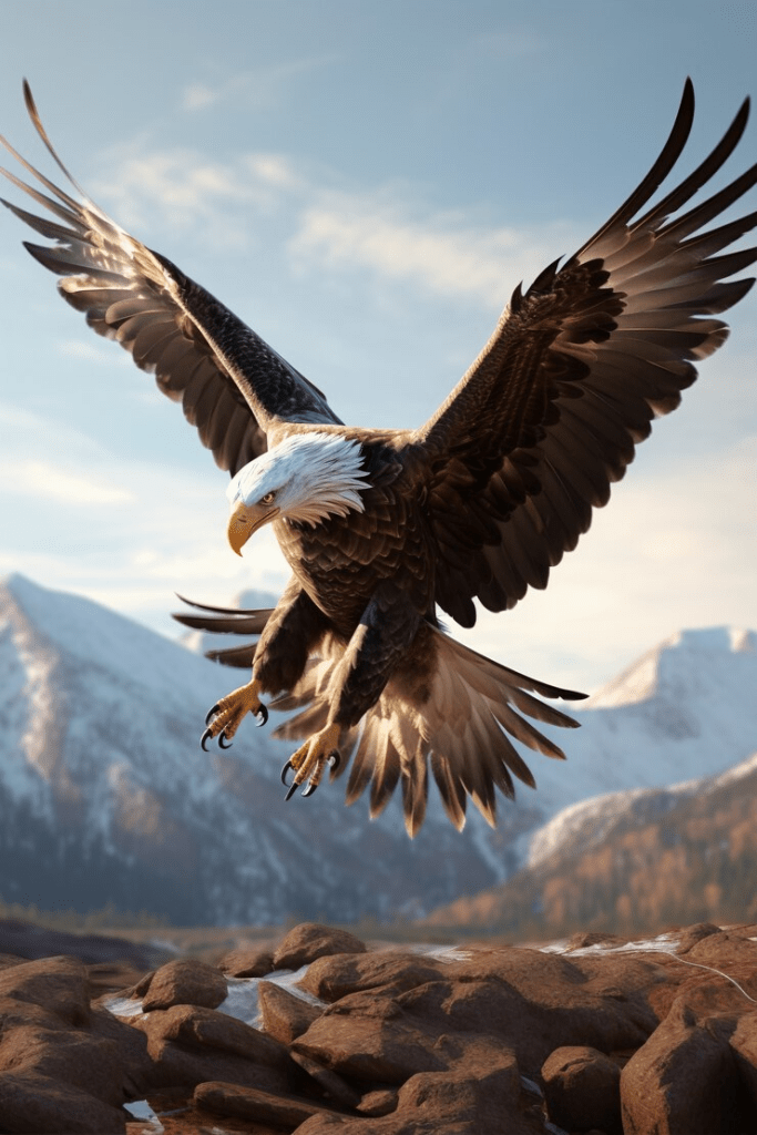
In Dad’s defense he had three teenaged daughters to protect from a bunch of Colt boys, lol. And honestly, some weren’t always our friends. We also attributed the wounding of one of the golden eagles that lived in the area to one of those boys. I saw it fly lamely down our hill – coming across from the Sweetwater Valley with fresh blood on its wing. It was weak and barely landed on the corner of our house to rest. Today that would be the exterior corner of the Spiller’s back porch.
Perhaps we paid it too much attention, and the golden eagle took off across our valley toward trees on the other side of the canyon. I couldn’t see if the injured bird made it all the way across. A pair of golden eagles used to breed in Twilight Canyon. We’d watched their courtship dive, from our front porch in February. I was afraid this was one of them.
In the end, a fire leveled Al Colt’s beautiful resort-like home that Mert had built. Fella said he and Peter sneaked over the next morning when the fire department arrived and watched the embers burn. The firefighters concentrated on keeping the propane tank, which had been near the kitchen, from exploding.
That was the second home to burn on that land. There was a nearby foundation with three chimneys from a previous homestead. The details of its demise are lost in the mists. (photo below)
By Eric Swab Screened Music House – unknown builder
The other buildings, a garage, and a music house in the meadow at that point, it remained intact My siblings, Peter, Fella, and Val camped out in the vacant garage once in a while before Alfred B. Colt sold the property to James H. and Bernice A. Donald in 1966. Dr. Donald enjoyed staying in an RV and wanted his son, David to have the place when he left. David accommodated the garage to make himself an apartment in 1972. But apparently, the Basing’s portion was never platted, and the ownership wasn’t solid.

Map supplied by Eric Swab October 6th, 2020
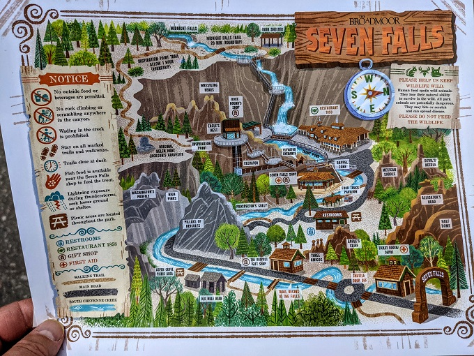
Lyda Hill inherited Seven Falls, and based on surveys done over the years, The Greenwood Park area was on Seven Falls property. Without documents to the contrary, Donald’s son was unable to verify his ownership, and she was finally able to take the property. She destroyed the bridge, the only external access what a shame.
The property had been bought and sold several times in good faith, however, multiple surveys were conducted. There is a lingering thought in my mind questioning whether Hill was also involved in the destruction of the house that burned down under suspicious circumstances. More recently, Peter Van Buren showed interest in the property.
He had a survey performed on his own but claimed that the ‘Hills’ had enough money to exhaust him, which ultimately led him to lose interest. When Lyda sold her stake, the Broadmoor acquired that land along with Seven Falls. In a land swap, Broadmoor then exchanged Sweetwater with the city, and Colorado Springs received most of Clara Cassatt’s and Bertha Bourne’s former homesteads.
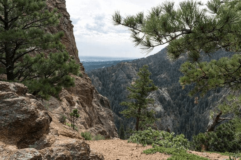
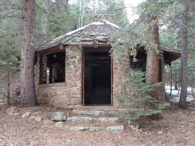
The Upper Valley ruins were supposed to be open to the public, but they posted all kinds of ‘no trespassing’ signs short of Greenwood Park. Since it was supposed to be public, the signs did not dissuade the veteran hikers. The ruins at the upper end of the valley
The cabins and the stable located above what was at one time the reservoir toward the upper end of the canyon now lie in ruins, but it used to be totally cool to visit them. My brother, Fella, knew the place as the “Maxwell Ranch”, though there is no trace of that name in the deed recordings. Go figure. What is with the records? The Maxwell property included land in both canyons, like the ‘Spillers,’ today. Fella and his wife were our last eyes in the area of ‘Greenwood Park.’ They stayed in the one-room cabin up behind the stable.
Cabin photos thanks to Sandra and William Munoz (See other photo below)
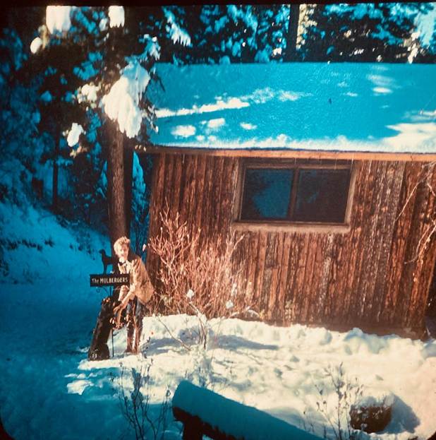
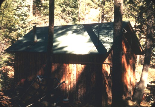
Peg and Big Mike. Hank and Peg, once called it the “honeymoon shack”.
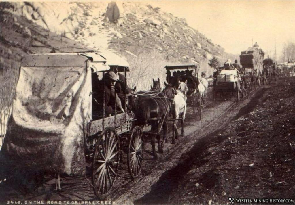
Our folks were married in 1948 and took their honeymoon on the road, sightseeing in the west, looking for a place to settle. They hauled a small trailer behind the car, which they called “Waltzing Matilda” because it swayed, side to side as they drove. In the forties, the old bottle-topped gas stations and motels were rare sights, and most of the roads traveled were two-lane and unpaved. Mom got good at driving risky passes, and good preparation for driving the ‘Stage Road.’
When Dad and Mert purchased the property, my folks stayed in the ‘Honeymoon Shack’ from 1948 to 1949 while our house was being built. Dad liked the land because he believed it would be safe in the event of a nuclear blast. This was before NORAD and several other military facilities had the same idea.
Eric recently noticed that the pipe from the pumphouse that might have been served by the cement “reservoir” as it was known, doesn’t go toward the house site the Basing’s used, but up toward the bank of the road, near the bridge. He also mentioned a standpipe which is capped off, and a large steel tank. Perhaps the pipes ran underground? Or, possibly they could be covered by undergrowth. I don’t know, but they could have served the Upper Valley structures, or even Fred Smith’s place if it was up by that ringed reservoir.
A little cabin/room was adjoining the stable. When I was young, I thought that it was the honeymoon cabin. We children tried to spiff up that small room for a fun clubhouse, but we didn’t get far – too much mouse pee. I think there was one old chair, and maybe there was a curtain – Sandy remembers pink curtain material in that cabin. I recall a bed spring that might have been stored in part of the stable.

The family horse, “Guera”
I once tried to shovel enough of the dried poop from the old stable, so “Guera, sounded like Weara”, our palomino mare, could climb in there and pretend to be a fancy stable horse. The interesting thing was that the spongy, dried manure that refused to give in to a shovel, may have belonged to cattle since horses couldn’t even fit in there to poop – at least in the later years. I hadn’t heard of anyone running cattle there.
Maybe that was the “ranch” part of Maxwell Ranch? Later, it did surprise me to hear that the stable had collapsed. I would think that the manure would have held it up, nearly forever. While Tina and Fella lived in the good cabin, they built a corral in the meadow down near the music house, until a terrible storm blew in, and the animals fled down the mountain, probably through the Cutler Trail, to the Westside stables, owned by the Brocks on Arch Street in Colorado Springs.
Fella and Tina had to walk, or otherwise make their way over there to get the critters, and then ride them back up. Even in the 1970s, horses were their only transportation. Fella had a motorcycle; he said he had traveled every inch of those canyons.
When it got too cold to stay in the cabin, Fella and Tina bought their first house next to the Brocks house for $13,900. For a long time ‘Fella’ would take his work crew up to the meadow as an appreciation. Everyone would camp over on the weekend, and have a huge BBQ by the music house.
We Mulbergers were blessed to have had some good times and beautiful memories of that heavenly little valley, and we probably saw it at its best. But let’s see what Trey and Megan Spiller do with the upper valley. They have such dreams and the kindest hearts. Trey already rebuilt the little bridge up by the cabins for our visit. The Spillers, Eric, and their friends are the brightest lights those valleys have known for years.
*************
I’d like to thank you and hope you have enjoyed
reading about the ‘Settled History of
Sweet Water Canyon’ in Colorado Springs and
sharing some of my family memories!
Visiting The Broadmoor Seven Falls In Colorado Springs, CO
1045 Lower Gold Camp Rd, Colorado Springs, CO 80905